Seasonal Forecasting in Central America
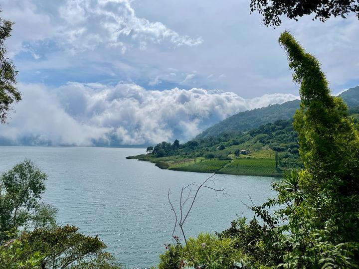 Lake Atitlán, Guatemala, 2022
This research has been my main focus during my postdoctoral fellowships with the National Oceanic and Atmospheric Administration and the University of Minnesota. I integrate dynamical and statistical forecasting methods to enhance midsummer seasonal precipitation forecasts throughout Central America. I find that the Caribbean Low-Level Jet (CLLJ), a critical yet relatively understudied driver of regional rainfall, leads to forecast improvements over traditional sea surface temperature predictors in many regions. This work is current under revision at the Journal of Applied Meteorology and Climatology. Despite the key information provided by the CLLJ in many regions, Eastern Central American rainfall remains relatively unpredictable. Currently, I am using moisture tracking models and reanalysis data to characterize the variability in moisture sources for this region and the large-scale and transient local influences on convection. The goal of this work is to better understand the relevant climate dynamics on the Caribbean coast of Central America that could improve precipitation predictability.
This work also involves an active collaboration with the World Food Programme in Guatemala to enhance operational forecasting methodologies.
Stay tuned for more updates!
FUNDING
This research was supported by the NOAA Climate and Global Change Postdoctoral Fellowship Program, administered by UCAR’s Cooperative Programs for the Advancement of Earth System Science (CPAESS) under the NOAA Science Collaboration Program Award NA23OAR4310383B.
Talia Anderson
University of Minnesota Presidential Postdoctoral Fellow
I am a University of Minnesota Presidential Postdoctoral Fellow in the Department of Geography, Environment & Society. I recently completed another postdoctoral fellowship with the NOAA Climate & Global Change Program and was based at the University of California - Los Angeles in the McKinnon Group. My research focuses on climate variability and change in mountain landscapes across different spatial and temporal scales. I use a variety of data types, from models to satellite imagery, to explore climate impacts in both localized areas and large, multi-country regions.